Topographical Survey & Design
Topographical Survey & Design
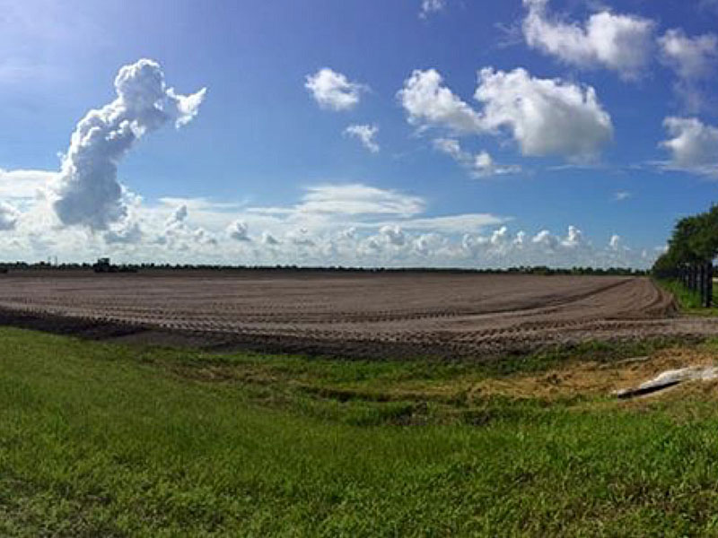
PLM uses the Trimble GPS system which streamlines the surveying, design, and leveling steps required identify, formalize, and ultimately meet the needs of our customers. With the 3D topographic data we collect, we can analyze and create cut / fill contour maps to determine cubic yardage totals required to construct each field to each individual customer’s specific requirements. The FieldLevel II System helps ensure optimal water management by providing improvements in yields, water usage, and farm productivity. All of these components bring added value to our customers in applying Best Management Practices to water usage, treatment, and storage to ensure higher yields, regulatory compliance, and maximizing profits. As South Florida is the primary base of our operations, maximized efficiency of water usage is not only ecological sound and good for the bottom line, it can also aide in enabling agricultural interests taking advantage of water storage credits through the National Resources Conservation Service (NRCS).